Topo Maps+ app for iPhone and iPad
Designed and tested on real dirt, Topo Maps+ is packed with the maps & tools to plan and execute your backcountry adventure.
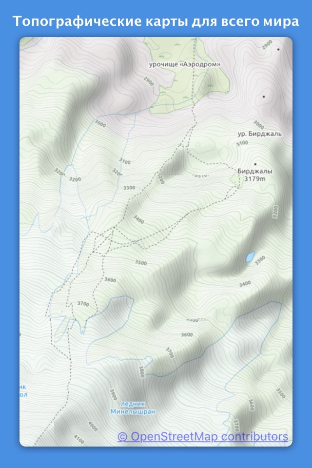
‣‣ MAPS FOR EVERY ACTIVITY
‣Setup your map based on your planned activity
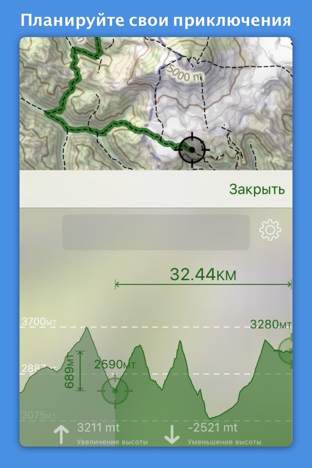
‣‣ PLANNING TOOLS
‣ Compare and Download maps for use offline.
‣ Combine overlays to customize your map view
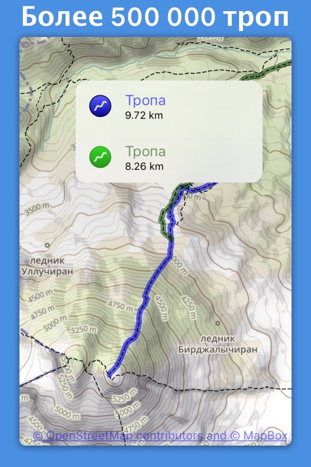
‣ Smart route-building tools
‣ Waypoints
‣ Print, email or share custom maps and routes
‣ Public, Private, and Hunting land boundaries
‣ Parcel Information
‣ Create teams and live-share members’ last known location
‣‣ ON-TRAIL TOOLS (Offline)
‣ View your current location
‣ All Maps and Overlays are downloadable
‣ Record your tracks - see where you’ve been
‣ Photo Waypoints - snap a pic and instantly shows on the map
‣ Progress on Trail - how much further on the trail
‣ Guide Me - to a waypoint
‣ Proximity Alerts - notify me when I’m close to a waypoint, trail, or region
‣ Line of Sight - what am I looking at?
‣ Downloaded elevation data for route-creation on the trail
‣‣ APPLE WATCH
‣ Integration with Apple HealthKit
‣Download maps directly to the watch
‣ Pan and zoom the map just like on the phone
‣ Drop a waypoint
‣ Record a track and see all of your stats
‣‣ CARPLAY
‣ Navigate to the trailhead
‣ Turn by Turn directions on USFS Roads
‣‣ NAVIGATIONAL MINDSET - helpful tips and tricks for keeping you safe in the backcountry!
‣‣ SUBSCRIPTION LEVELS:
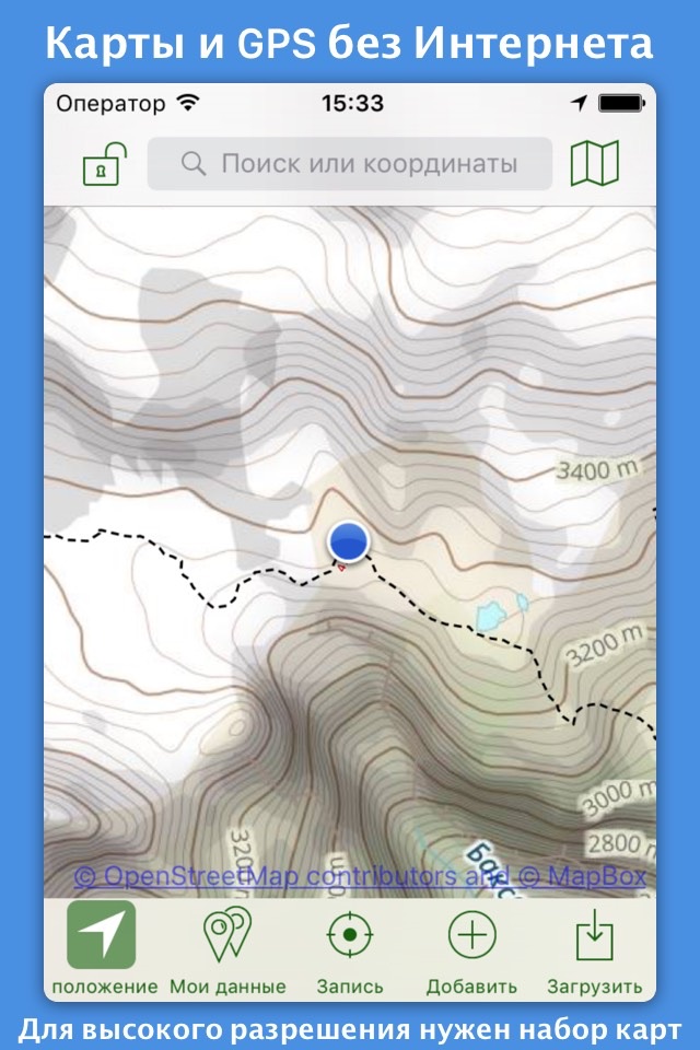
FREE level: view low resolution maps, record your tracks, and limited features
Topo Maps+ Pro: high resolution maps, download maps, planning & on-trail tools, driving mode, import geospatial PDFs and TIFFS, MapBox Satellite map, US public and private land overlays, parcel and ownership contact info, game management units.
‣‣ CLOUD
Sync your routes, trips, subscriptions, and waypoints between all of your iOS and Mac devices.
SUBSCRIPTION PAYMENT INFORMATION
Topo Maps+ subscriptions will be charged to your Apple ID account at the confirmation of purchase and/or completion of free trial. Subscription automatically renews unless it is canceled at least 24 hours before the end of the free trial or current period. Your account will be charged for renewal within 24 hours prior to the end of the current period. You can manage and cancel your subscriptions by going to your account settings on the App Store after purchase.
Privacy Policy: https://topomaps.co/info/privacy
Terms of Service: https://topomaps.co/info/tos
Continued use of GPS running in the background can dramatically decrease battery life.
Pros and cons of Topo Maps+ app for iPhone and iPad
Topo Maps+ app good for
I use this app every day at work to navigate to and from the Transmission Power Lines in remote areas all over the Pacific Northwest. Superb functionality with simple data management and more than reasonable pricing come with the added luxury of superior customer service from the developers. Based on my experience of using Topo Maps + over the last year, this app is absolutely 5 stars.
This is a great app, don’t worry about the critical reviews and here is why.
1) With no in-app purchases (free) you get topo data for the entire USA. Yes it is low resolution, but, it is good enough for general browsing. If you are going to use the app for planning a hike or navigating on the hike you will want the hi-res maps, but, they are pretty cheap, see #2
2) In the in-app purchase are very reasonably priced because of two great ways that the developer handles in-app purchases (a) in-app purchases are not auto renewed, so, you don’t have to worry about forgetting you subscribed and racking up months worth of subscription fees you didn’t need. (b) everything you download you get to keep after your subscription ends. The way I look at it for $9.99, about $2 more than a *single* paper map, I can get all the maps in my area I ever wanted and then never subscribe again. But, let’s say I go to a new area of the county and I need some new maps, again I’d be paying $9.99, about $2 more than a single paper map, for multiple electronic maps.
As you can see I’m a fan of the app, and I just purchased it a week ago. I hope that the developer continues to refine and improve this app. I have run into some minor bugs.
a) When downloading maps sometimes the app will complete the download, but, not change the tile to the, “tap to delete” with red circle. To get the tile to update I have to tap the tile again. Thankfully on the second tap it seems to know that it already has the file and the “download” only seems to take about 2 seconds.
b) I wish the sync would happen in the background automatically.
c) I wish there was a way to hide map types I don’t use.
d) I wish there was a may to edit and merge tracks. Sometimes I forgot to stop tracking.
If you are looking for a great app for hiking, this is it. It allows you to download maps digitally, and also will let your print them! This allows the app to be used even when you are offline. It just uses the iPhones built in GPS. It has hundreds of thousands of trails built in. If you have an iPad or an Apple Watch, it works great on those as well. I ran into an issue with importing a track, sent it to the developer, and it was fixed in the next release!
I absolutely love this app and highly recommend it! My brother and I were out on a backpacking trip in a place with no cell phone reception and the trail was covered in snow! This app was able to use GPS and topological maps to tell us exactly where the trail was at in an amazingly accurate way! It told us to walk 10 feet away and sure enough we soon found the trail. In the new version, distance and elevation are tracked even more accurately than before. And it was already quite accurate! This app rocks and I highly recommend it to any outdoors enthusiast!!
Excellent app, amazing for offline use. Great combination to Foreflight for VFR. Would be nice to download more than 20 tiles at a time though.
If you plan to do any hiking or hunting, get the upgraded detailed maps. This is by far the best map app I have used.
Some bad moments
Its difficult to know when pinch to zoom works, and the subscription-based model is poor.
Subscriptions are also overly expensive when compared to other apps: another topo map (albeit with an equally poor interface) is just four dollars, and includes unlimited high resolution downloads without any subscription.
Summary: none Ive found have a stellar interface, but there are much cheaper options out there.
Skip this one... Loads very slow and not much detail on the map! Guess they want you to buy the full version
Useless, only shows images from far out and then makes you pay them if you want to zoom in!
Its actually very expensive because you have to subscribe to the service to get the detailed map. The seller wins.
Im always hesitant to buy/download topo apps because most of them are a giant disappointment. That is not the case with this app. I highly recommend it.
Uninstalled right after playing with it. Useless without High Res. Bait and switch, get you in, them make you buy.
Usually Topo Maps+ iOS app used & searched for
bikemap,
maps,
trails,
trail maps,
go pro studio,
gps go,
offline maps & navigation,
hunting gps,
offline topo maps,
offline gps navigation,
offline navigation,
gps navigation & offline maps,
trail gps,
hikes,
offline map & gps navigator free,
gps offline,
trail running,
download map,
trail map,
offline maps,
topo maps,
rocky mountain national park,
topographic maps,
mountain peaks,
peak studios llc,
and other. So, download free Topo Maps+ .ipa to run this nice iOS application on iPhone and iPad.